The links in this section are interesting examples of infovis that I have found.
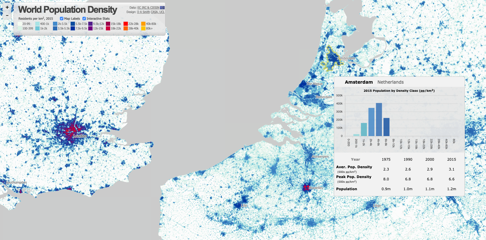
World Population Density
An interactive map where you can select countries for further information presented in graphs. 2015 data.luminocity3d.org/WorldPopDen
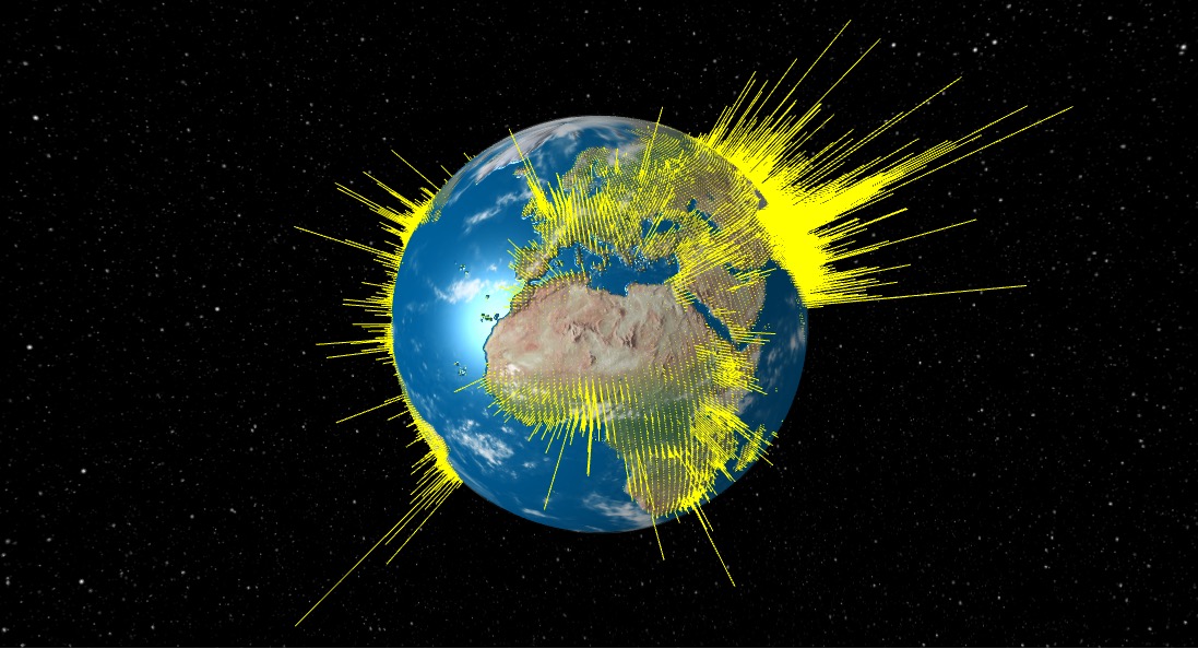
World Population: Every Globe Has its Thorn
An interactive globe showing population distribution as spikes coming out of the globe.metrocosm.com/3d-world-population-globe
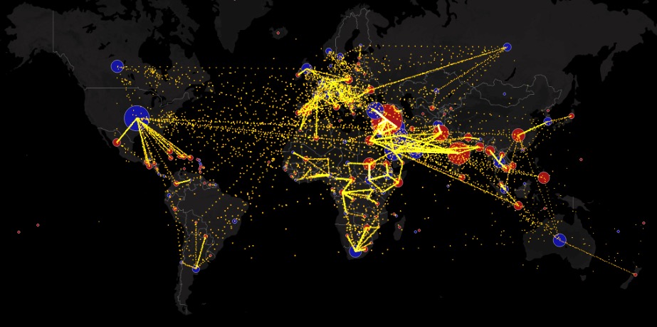
World Immigration (2010-2015)
"All the World’s Immigration Visualized in 1 Map". This animated map is zoomable, and individual countries can be selected to see migration to and from that country.metrocosm.com/global-immigration-map
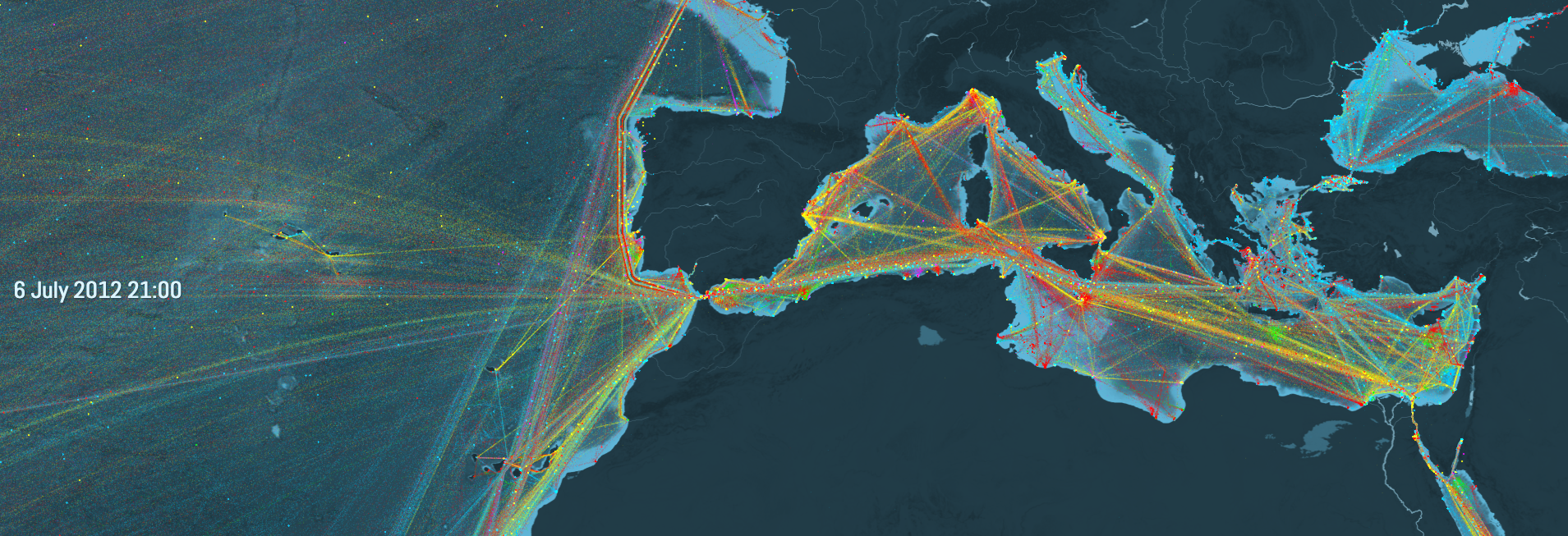
Ship Map
This site has an intro video outlining the importance of the world shipping. The interactive map is zoomable by geography and time of year, showing the shipping activity throughout the world. The data is based on shipping in 2012.shipmap.org
Projecting Land
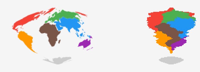
An animated interactive where you can choose various projections of the world map and alter the parameter for some very interesting shapes.roadtolarissa.com/projecting-land
Make your own custom map
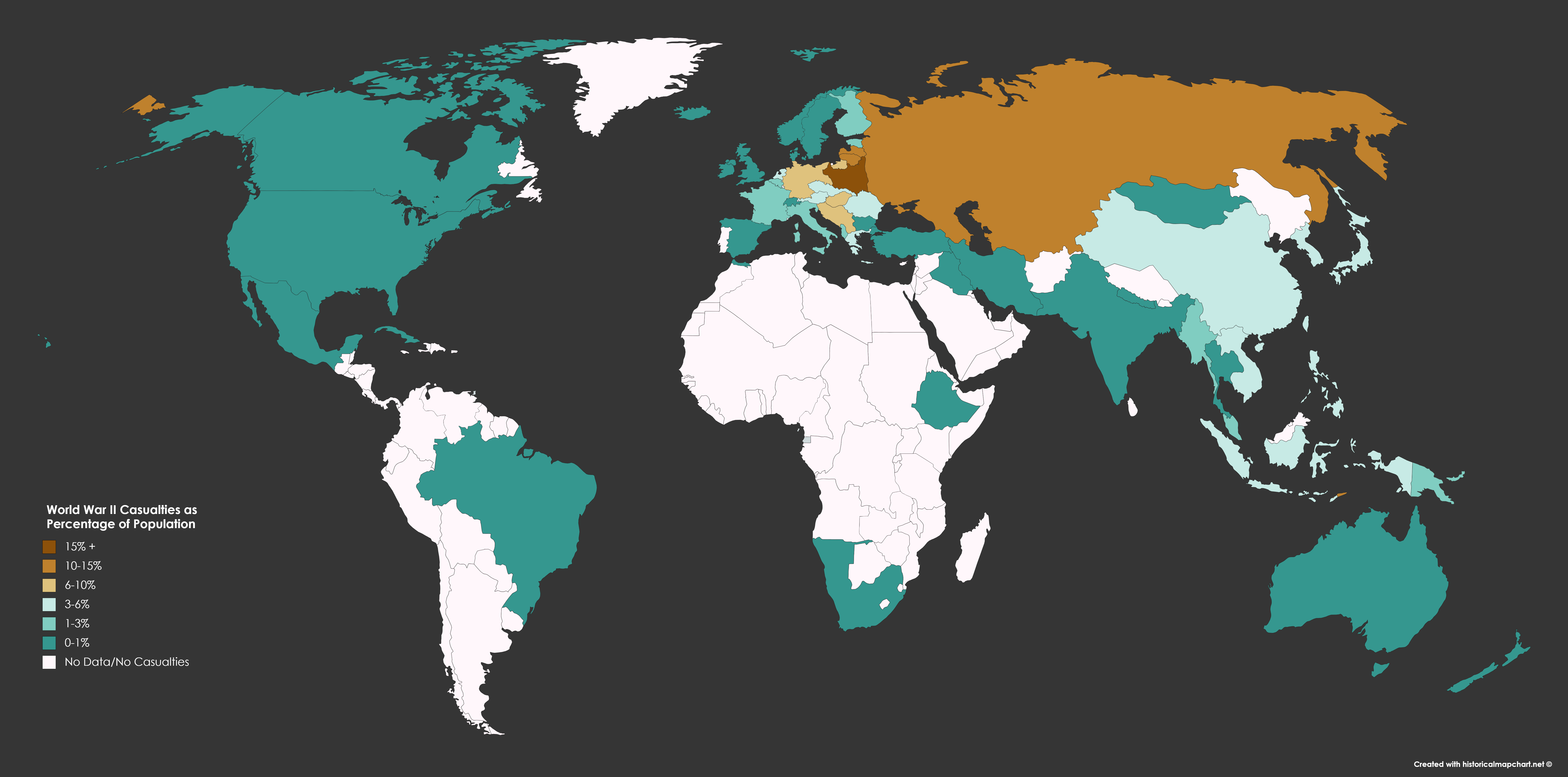
Choose your map – many to choose from – then colour it up as you like. This is one of the many examples available on the site.mapchart.net
World Population Interactive
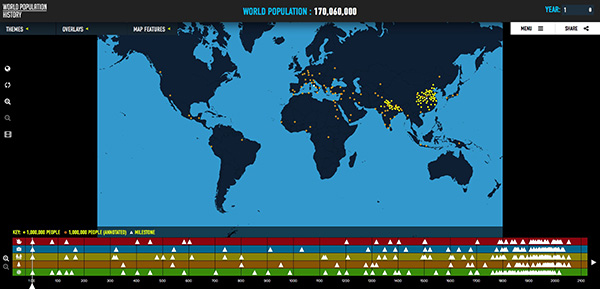
An interactive website that shows the growth of world population through the ages on a map. It also has key milestones in history.worldpopulationhistory.org
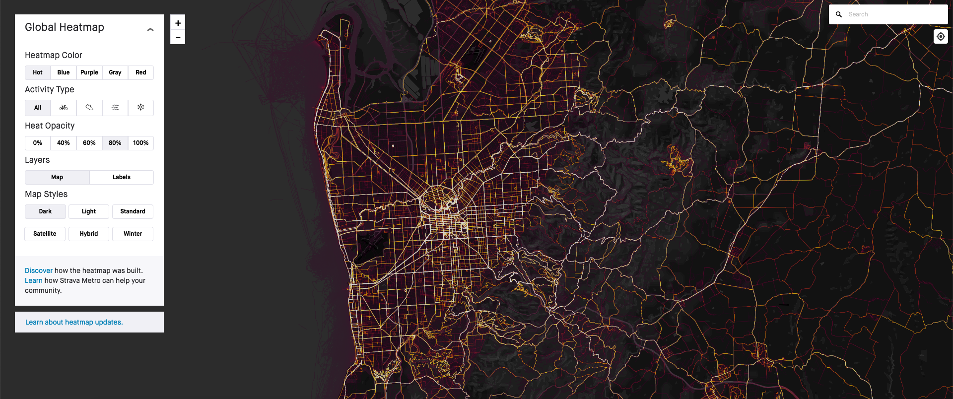
Bike Heat Map
This interactive website shows bike (and running) journeys throughout the world on a map. You can alter a few parameters on the map such as colour and opacity. The example I have shown is my home town in Australia.labs.strava.com/heatmap
Battles
An attempt to visualise every battle in history.battles.nodegoat.net/viewer.p/23/385/scenario/1/geo/fullscreen

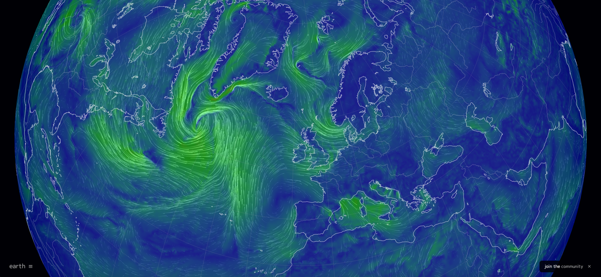
Earth: a global map of wind, weather and ocean conditions
Shows real-time animated data of the wind etc.earth.nullschool.net/#current/wind/surface/level
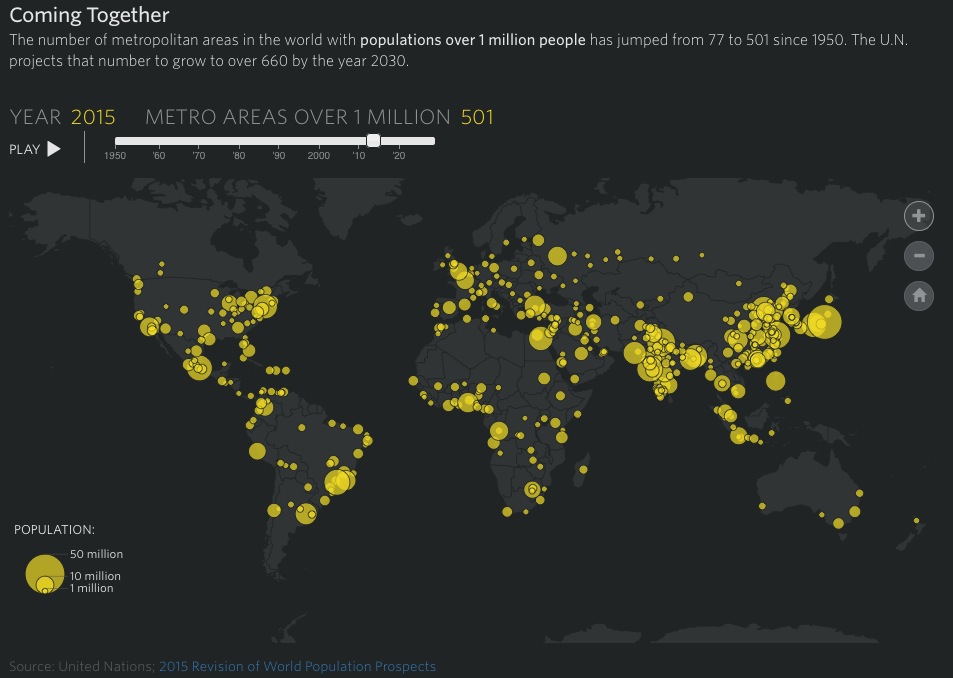
Coming Together
An interactive visualisation of the metros areas throughout the world of over one million people since 1950.graphics.wsj.com/2050/large-cities-2050